
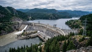

Kyrgyzstan has launched a tender for comprehensive seismological surveys at the site of the planned Kambarata-1 hydropower plant, seeking critical data to evaluate geological risks ahead of dam design work. The maximum value of the contract is set at 23.6 million Kyrgyz soms, with bids accepted through September 21, 2026.
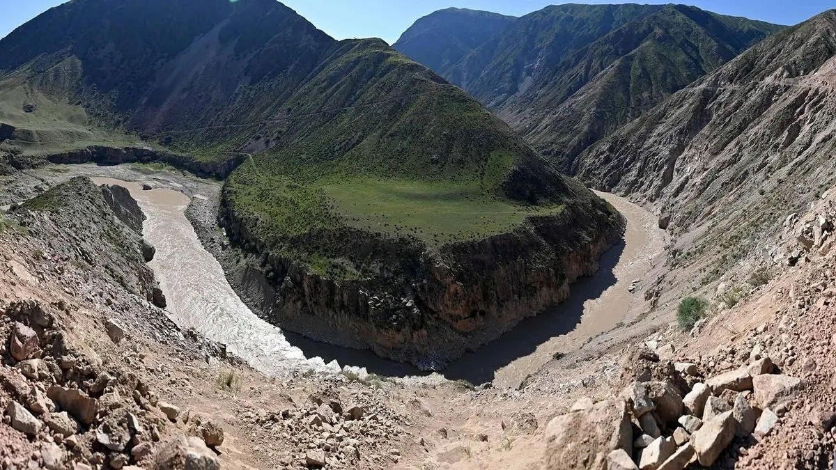
The proposed construction area is located in the Toktogul district of the Jalal-Abad region, a territory characterized by high seismic activity. According to the technical specifications, geologists identified a tectonic fault designated as F20 near the right abutment of the future dam. The fault is considered potentially active, prompting the need for detailed investigation to assess its potential impact on the stability of the structure.
The selected contractor will be required to excavate up to three exploratory trenches across the F20 fault and neighboring fractures. Specialists will examine the geological structure, record rock displacement geometries, and identify traces of prehistoric earthquakes. The work also entails collecting soil samples for radiocarbon, geochemical, and mineralogical testing, as well as optically stimulated luminescence dating.
Geophysical studies will include seismic logging of four boreholes and surface profiling to calculate the average shear-wave velocity in the upper 30 meters of ground. These measurements will serve as core parameters for engineers calculating the structural stability of the dam body and auxiliary infrastructure.
The procurement terms include an advance payment of 10 percent, with the remaining balance payable within 30 days after the final results are approved. Bidding companies must have completed at least two comparable active fault investigations, and the project team must be led by an expert with at least ten years of experience in the field.